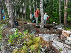
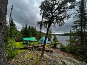
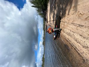
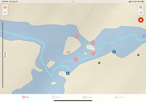
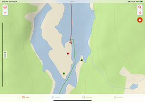
Cooking Area 33k Quetico
48.44485/-91.30427
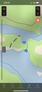
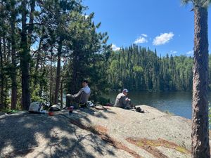
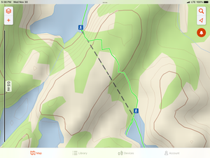
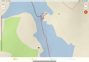
Portage 5574
48.17449/-91.46047
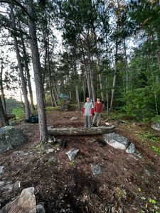
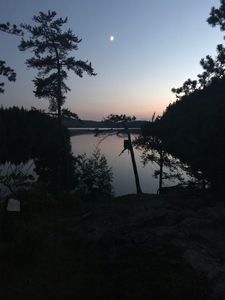
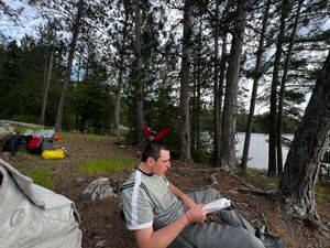
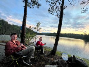
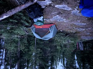
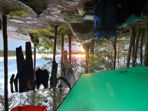
Up Cooking area and tent sites above
48.44485/-91.30427
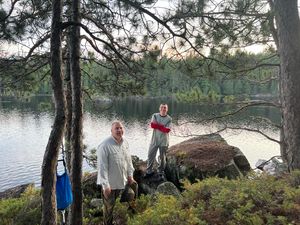
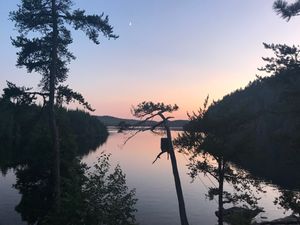
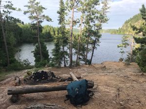
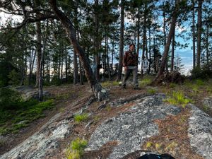
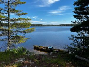
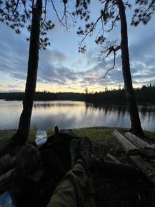
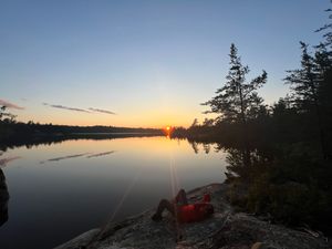
View from Camp 33K
48.44485/-91.30427
AF75B9AB-6283-4644-8D24-80F6676FF583.jpeg
8/5/2019, 48.07951/-91.13906
ADAD5B7F-638E-40ED-9384-13955FEB5B11.jpeg
8/5/2019, 48.07951/-91.13906
DA8639C7-1DD7-483E-A62B-4804C7E9656B.jpeg
8/6/2020, 48.07951/-91.13906
3116475A-6A9E-4B10-999E-C0DA1FA00276.jpeg
8/6/2020, 48.07951/-91.13906
96B0BD3C-0204-49A3-8934-BF7C66E1EEF6.jpeg
8/6/2020, 48.07951/-91.13906
E631581B-D7AE-4A97-B1BE-BD3D94BBF16B.jpeg
8/7/2020, 48.07951/-91.13906
9F05F275-B255-4E73-B52D-CA07A7E6F4BD.jpeg
8/7/2020, 48.07951/-91.13906
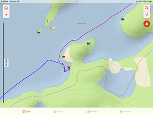
portage 5220
7/5/2022, 48.46759/-91.34765
Agnes Mid Island Campsite
7/6/2022, 48.26206/-91.33702
17N
7/9/2022, 48.18453/-91.44387
Fire area kitchen area Quetico 505
7/9/2022, 48.16535/-91.46713
Quetico Campsite 12X
7/9/2022, 48.10405/-91.47225
Quetico Campsite 505 Landing
7/9/2022, 48.16535/-91.46713
Quetico Shade Lake 17N
7/9/2022, 48.18453/-91.44387
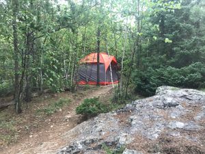
1EE campsite dead tree on left
7/10/2022, 48.23985/-91.36542

Portage 5426
7/11/2022, 48.27749/-91.43822
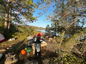
1BK Great elevated site
7/13/2022, 48.4243/-91.3967
1BK not great kitchen
7/13/2022, 48.4243/-91.3967
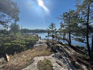
Baird Campsite 1BK
7/13/2022, 48.4243/-91.3967
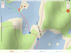
Baird Lake to Keats
7/13/2022, 48.43515/-91.40398
Baird to No Name Pond lake
7/13/2022, 48.42097/-91.39362
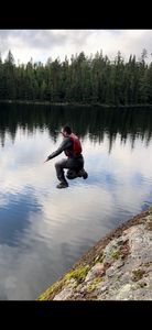
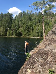
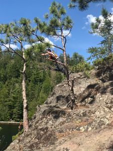
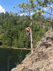
Jump spot
7/13/2022, 48.4243/-91.3967
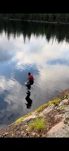
Just before water
7/13/2022, 48.4243/-91.3967
19H view towards sunrise
7/14/2022, 48.46367/-91.42497
Looking towards Split rock falls from site
7/14/2022, 48.46367/-91.42497
Sunset side of camp 19H
7/14/2022, 48.46367/-91.42497
Campsite with Beach
8/9/2023, 50.48913/-89.87585

Campsite with Beach
8/9/2023, 50.48913/-89.87585
Campsite
8/11/2023, 50.62532/-89.73985
Final Rapida Ogoki into Oliver lake
8/14/2023, 50.73094/-89.54411

Final Rapida Ogoki into Oliver lake
8/14/2023, 50.73094/-89.54411
Ogoki River Island area rapids
8/14/2023, 50.72822/-89.55471
Inner area
8/15/2023, 50.5454/-89.24818
Campsite on point.
8/17/2023, 50.48842/-89.13272
5* campsite Little Caribou
8/18/2023, 50.38589/-89.06917
Little Caribou 5* campsite
8/18/2023, 50.38589/-89.06917


