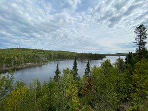
At the top of Portage 302
48.13211/-90.79404

At the top of Portage 302
48.13211/-90.79404
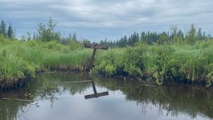
Awesome sign
48.12231/-90.83771
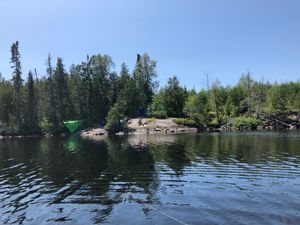
Campsite 1947
48.18108/-90.82255

Campsite 1948
48.18167/-90.81988
Campsite 426
48.17253/-90.81717
Campsite 427
48.17147/-90.82097
Campsite 431
48.17802/-90.84328
Campsite 432
48.17879/-90.84092
Campsite 433
48.17466/-90.8063

Campsite 433
48.17466/-90.8063
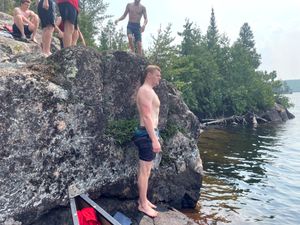
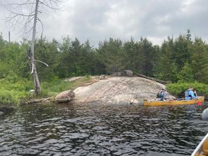
Cliff Jumping Spot
48.17894/-90.82327
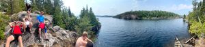
Cliff Jumping Spot
48.17894/-90.82326
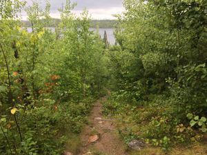
Clove Portage
48.1323/-90.79224
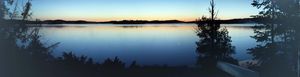
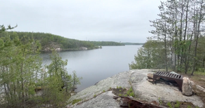
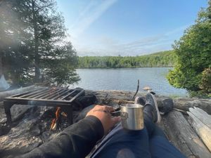
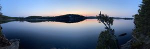
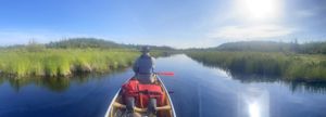
Early Morning Pano
48.17704/-90.80922
Early Morning View from Campsite 434
48.17704/-90.80922

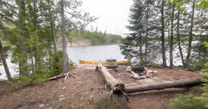
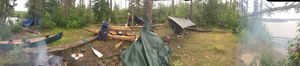
Firepit/Kitchen Area
48.17704/-90.80922
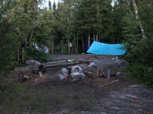
Firepit/Kitchen Area
48.17704/-90.80922
From Campsite 431
48.14307/-90.79634
From Campsite 438
48.14307/-90.79634

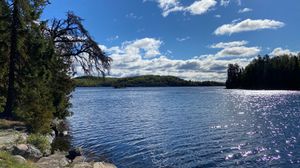
From the North Side of Island
48.17466/-90.8063
Great View
48.17547/-90.84579

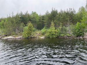
Larch Creek
48.12255/-90.83663
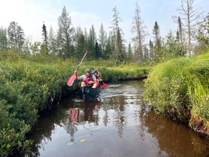
Larch Creek
48.12251/-90.83847
Larch Creek
48.12255/-90.83663
Larch Creek
48.1227/-90.83656
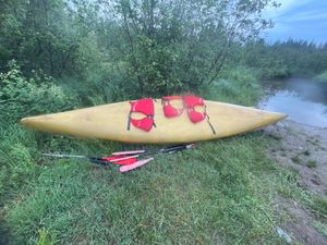
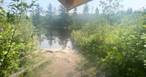
Larch Creek Entry Point
48.12088/-90.84036
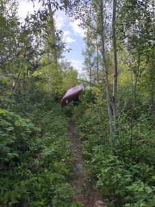
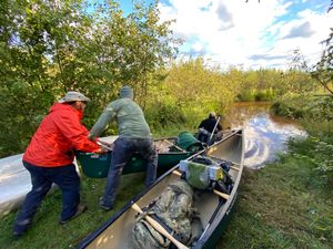
Larch Creek Portage
48.13421/-90.80924
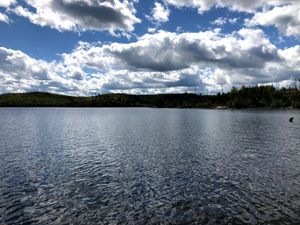
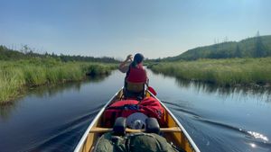
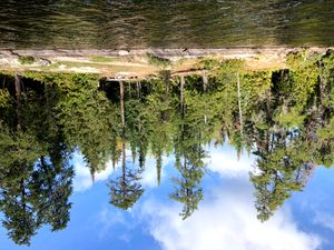
Maraboeuf Lake
48.17756/-90.82493
Portage 270 (from the south entrance)
48.16984/-90.80247
Portage 270 on the North Side
48.17218/-90.8023
Portage 286 (from the West Side)
48.14658/-90.78381
Portage from the South Entrance
48.17017/-90.80287
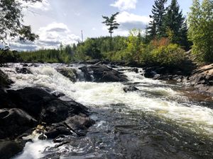
Sag Falls
48.22867/-90.83969
Site from the water
48.17704/-90.80922
South Entrance of Portage 270
48.17031/-90.803
Campsite 437
8/9/2017, 48.12857/-90.82011
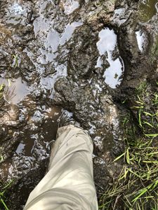
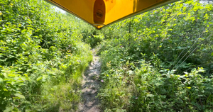
It can get messy!
8/1/2019, 48.15474/-90.78272
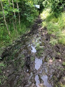
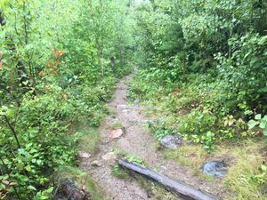
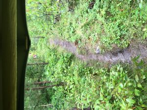
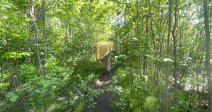
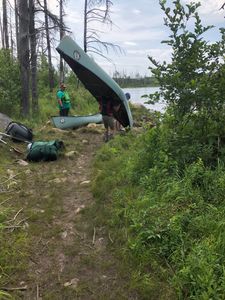
Muddy Portage
8/1/2019, 48.15427/-90.78242
Campsite 431
9/2/2020, 48.17802/-90.84328
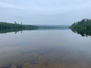
Larch Creek Entry
9/15/2020, 48.12088/-90.84036


