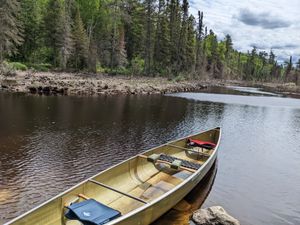
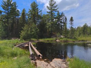
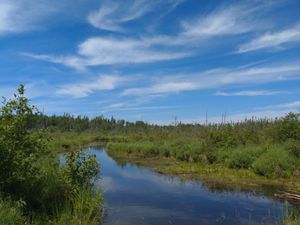
Moose River after 2022 spring flooding, from Portage 44 south landing
7/2/2022, 48.13457/-92.09081
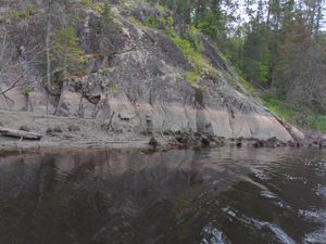
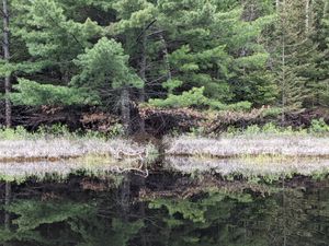
Moose River high water marks from 2022 spring flooding
7/2/2022, 48.13352/-92.09128

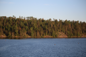
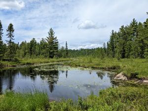
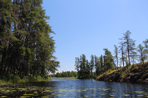
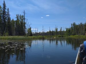
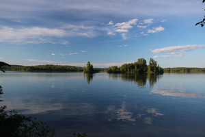
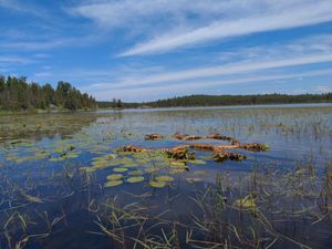
Moose River mouth, opening into Nina Moose Lake
7/2/2022, 48.15644/-92.08561
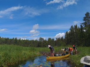
Portage 251 E landing
7/2/2022, 48.22235/-92.08835
Pullover on the Oyster River
7/2/2022, 48.22307/-92.08527
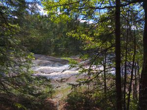
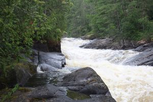
Rapids, Nina Moose River, seen from portage
7/2/2022, 48.18322/-92.0745
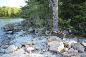
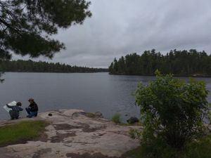
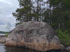
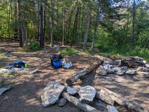
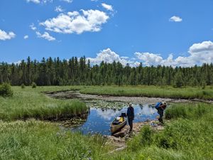
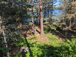
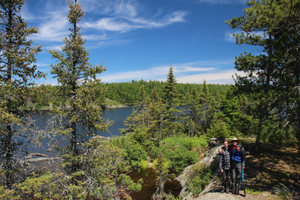
Site #1782
7/2/2022, 48.22642/-92.10934
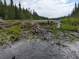
Beaver dam on Gboeq Creek
7/3/2022, 48.29707/-92.1069
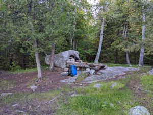
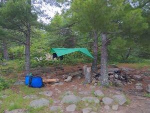
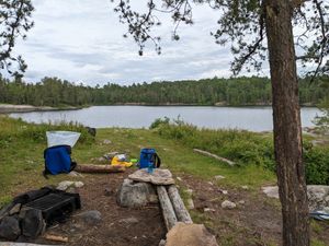
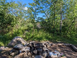
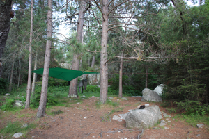
Campsite #160 fire grate, 2022
7/3/2022, 48.32164/-92.03231

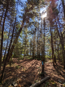
Headed N on portage 241
7/3/2022, 48.29398/-92.10546
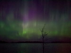
LLC Northern Lights (Site #160)
7/3/2022, 48.32164/-92.03231
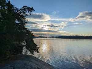
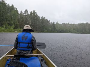
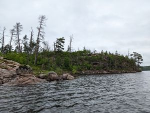
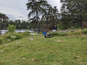
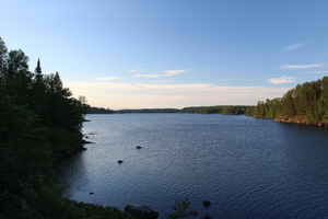
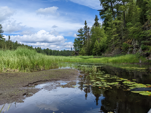
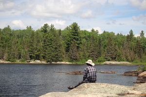
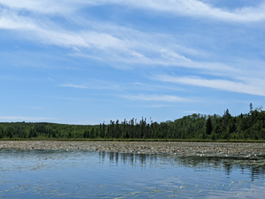
Oyster Lake Morning
7/3/2022, 48.22642/-92.10934
Pollen rings from high water
7/3/2022, 48.32164/-92.03231

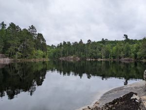
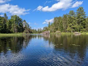
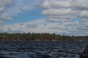
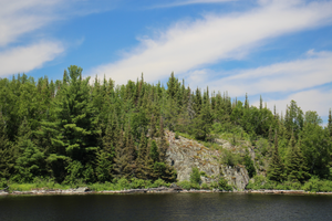
Rocky Lake, from portage 249
7/3/2022, 48.23782/-92.10448
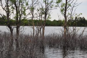
Submurged island, with ice-scraped trees
7/3/2022, 48.35348/-92.09197
Trapped cottonwood fluff and dead limbs from spring 2022 flooding
7/3/2022, 48.3081/-92.1013
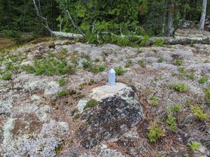
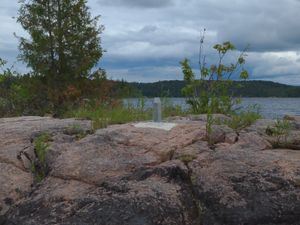
Boundary marker 580
7/4/2022, 48.32241/-92.01228
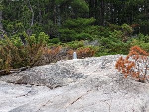
Boundary Marker 591
7/4/2022, 48.28895/-92.01076
Campsite #1840, view offshore, to the south
7/4/2022, 48.23116/-91.92821
Campsite #1840, view onshore
7/4/2022, 48.23116/-91.92821
Hard rain at the Bottle-Iron boundary
7/4/2022, 48.25333/-91.95852
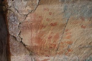
Pictographs
7/4/2022, 48.28398/-92.00627
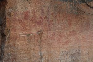
Pictographs
7/4/2022, 48.28421/-92.00632
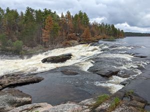
Rebecca Falls N, near E end
7/4/2022, 48.24657/-91.93109
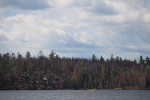
Recent fire damage, seen in July 2022
7/4/2022, 48.26088/-91.98782
View into bay at W end of Bottle Portage
7/4/2022, 48.25898/-91.97723
Boundary marker 677
7/5/2022, 48.20723/-91.80935
Boundary marker 680
7/5/2022, 48.20033/-91.79919
Campsite #1858, Looking E
7/5/2022, 48.18644/-91.71722
Campsite #1858, Looking W
7/5/2022, 48.18644/-91.71722
Crashed plane
7/5/2022, 48.22497/-91.89576
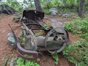
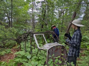
Decayed automobile
7/5/2022, 48.20127/-91.7753
Fire damage on Canadian side of Curtain Falls
7/5/2022, 48.23721/-91.90668
Fire damage on Canadian side of Iron Lake
7/5/2022, 48.23622/-91.92217
Wing of crashed plane
7/5/2022, 48.22474/-91.89577
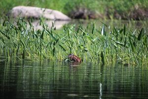
Beaver eating on Horse River
7/6/2022, 48.09174/-91.72909
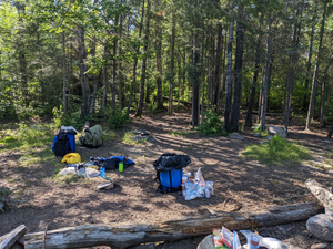
Campsite #1119
7/6/2022, 48.06655/-91.76289
Campsite #1119
7/6/2022, 48.06655/-91.76289
Campsite #1119
7/6/2022, 48.06655/-91.76289
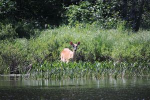
Deer eating on Horse River
7/6/2022, 48.09174/-91.72909
Entering Horse Lake
7/6/2022, 48.07877/-91.75383
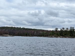
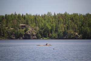
Horse Lake
7/6/2022, 48.06695/-91.76234
southern Horse Lake
7/6/2022, 48.06621/-91.76276
Sunken logs
7/6/2022, 48.06591/-91.7628
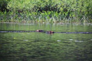
Two beavers on Horse River
7/6/2022, 48.09168/-91.72894

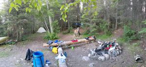
Campsite #1110 sunset
7/7/2022, 48.06265/-91.79328
Campsite 1110
7/7/2022, 48.06265/-91.79328
Downstream of dam
7/7/2022, 48.11891/-91.76961
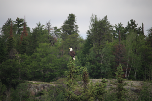
Eagle
7/7/2022, 48.07103/-91.76887
Fourtown fire damage (2022)
7/7/2022, 48.08765/-91.79474
Fourtown fire damage (2022)
7/7/2022, 48.09184/-91.79691
Hunting bugs
7/7/2022, 48.11903/-91.76948
Logging dam on Moosecamp river
7/7/2022, 48.119/-91.76997
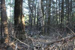
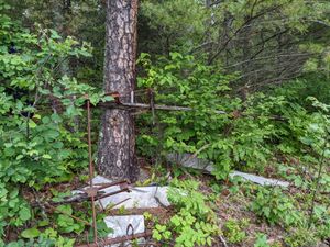
Logging remains?
7/7/2022, 48.07405/-91.77786
Moosecamp
7/7/2022, 48.11472/-91.77522
Near portage to Fourtown
7/7/2022, 48.07073/-91.77256
Oncoming traffic at the pullover
7/7/2022, 48.10922/-91.78879
Rest before Moosecamp River
7/7/2022, 48.09773/-91.78922
Rocky carryover
7/7/2022, 48.07394/-91.78256
Upstream of dam
7/7/2022, 48.11915/-91.76969
Approaching Jackfish Bay
7/8/2022, 48.03227/-91.77606
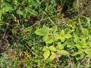
Blueberries and raspberry bush
7/8/2022, 48.03489/-91.76589
Campsite #1110 from the rock face
7/8/2022, 48.06265/-91.79328
Campsite 1634
7/8/2022, 48.04112/-91.62093
Campsite 1634 widowmaker tree
7/8/2022, 48.04112/-91.62093
Range River end of portage
7/8/2022, 48.03652/-91.78551
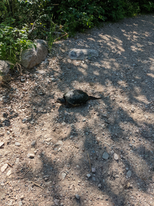
Snapper guarding the portage landing
7/8/2022, 48.04686/-91.65922
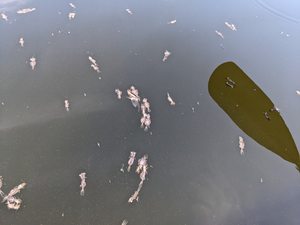
Strange floating bug/fish remains
7/8/2022, 48.03195/-91.60388

View all the way up Jackfish Bay
7/8/2022, 48.03497/-91.76495
View out from Campsite 1634
7/8/2022, 48.04112/-91.62093
Approaching the end of Wood
7/9/2022, 47.97108/-91.59419
Cliff face
7/9/2022, 47.99025/-91.59148

Eagle
7/9/2022, 47.98864/-91.59279
Eagle with a low perch
7/9/2022, 47.98867/-91.58709
Portage landing to EP 26
7/9/2022, 47.96684/-91.59709
Shallows at end of Hula Lake
7/9/2022, 47.99422/-91.59762
Small island on Wood
7/9/2022, 47.98928/-91.59133


